| Photo | System Requirements | |
 |
|
Operating systems: File formats: |
Geographic Information System
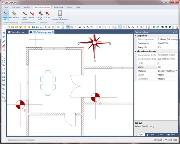
With GIS-CAD you can georeference CAD designs – i.e., you can automatically determine the geographic coordinates for the objects contained therein.
The program can be controlled externally and can send and receive data via API. For example, your address information and coordinates can be shown on a map, or the positions of vehicles and other objects can be followed in real time. This data is sent to GIS-CAD via GPS.
Georeferencing
The drawing is georeferenced by adding control points. The more points are defined, the more precise the georeferencing.
If there is only one georeference point, then the drawing can also be oriented by entering an additional measure of angle.
Georeference Points
You can choose whether to show or hide the georeference points. Control points can also be shifted or deleted in order to create new georeference data.
CAD Functions
The program contains all of the most common functions found in the world of CAD programs.
Communication and Integration
GIS-CAD can be integrated into other programs or can communicate with them as a standalone program.


